Seven of the Most Amazing Hiking Destinations in Italy
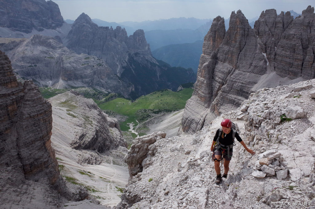
6. Alta Via #4
Pros
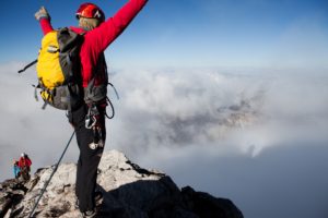
- Awesome via ferrata climbs
- The Monte Paterno ferrata (option) is highly recommended
- Great War historical remnants (hikers occasionally find bullet shells and other relics amongst the rocks), tunnels and trenches built into the mountainsides
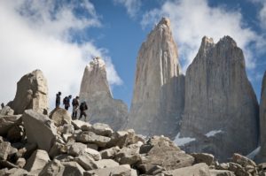
- Passes the ‘Tre Cime di Lavaredo’, perhaps the most photographed spot in Italy after the Vatican!
- A real challenge! With some grade 2/3 climbing involved, this route isn’t to be underestimated!
- Walk, climb and scramble across the Tre Scarpèri, Croda dei Barànci, Cima Grande di Lavaredo, Cristallo, Sorapìss, and Antelao mountains
Cons
- The Tre Cime area is the busiest and most congested in all of the Dolomites
- Nigh on impossible in winter months and extremely cold
Congestion: Low to Moderate (High in Tre Cime area)
Ideal Time of Year to Hike: Late June through September
Total Distance and Duration: 53miles, 6 days
Trail Uses: Hiking, via ferrata (required).
Dogs Allowed: Varies from hut to hut.
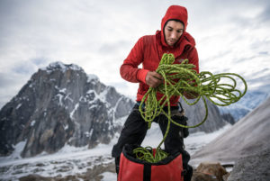
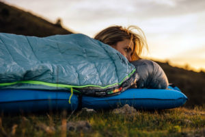
Recommended Gear: Day pack, hiking boots, sun hat, sleeping bag liner for huts, water purification tablets, ice axe (Piolet style), via ferrata kit (required).
Elevation at Trailhead: 1174m/3851ft (San Candido).
Max Elevation: 2624m/8609m
Total Elevation Gain: 4,550m/14,927ft (a large part of which is on via ferrata!).
Costs: $35-60 per night in huts (B&B). One night free in a tiny bivouac hut…bonus!
Directions: The easiest was to reach San Candido is from Munich Airport in Germany. From Munich head South, following signs for Innsbruck, then Brenner Pass, then Cortina D’Ampezzo. From Cortina D’Ampezzo, follow signs for San Candido/Dobbiaco.


No Comment