Seven of the Most Amazing Hiking Destinations in Italy
3. Alta Via #2, the Italian Dolomites
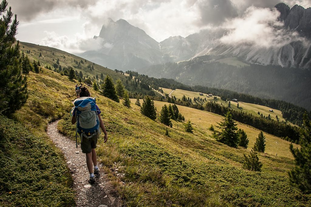
Courtesy of Ken Driese
Deciding which is the most beautiful of the Dolomites’ high trails is something you could spend a lifetime debating. In an ideal world, and with plenty free time on your hands, you could simply do all of them, on repeat, until you’ve reached a decision! Because the Dolomites region is so vast, we’ve decided to highlight only the best of the best and AV2 is a dead-heat contender for the top trail that this outrageously pretty part of the world has to offer.
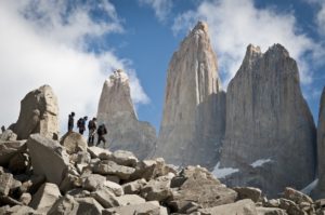
Alta Via #2 takes in equally sublime scenery as AV1, but runs a little longer and threads a more varied and challenging route through the western end of the Dolomites range. The landscapes are overwhelmingly sumptuous, taking in views of the mighty Marmolada (the Dolimites’ highest peak), and passing through the Pale di San Martino Group, the Sella Group and then wilder stretches as your near Feltre. Dubbed the ‘High Route of the Legends’, Alta Via #2 is more strenuous than #1 and keeps you higher for longer but rewards the effort with beautiful scenery and an ever-changing array of mountain landscapes.
Pros
- Has it all – high passes, alpine meadows, picturesque villages, via ferrata routes (optional) and mountaintop moonscapes
- Passes through the exquisite Val Gardena
- Option to climb Marmolada, the highest peak in the Dolomites
- Contained within the Dolomites UNESCO World Heritage Site
Cons
- More challenging than Alta Via #1 (a ‘pro’ for some!)
- As above, the heat can be excessive for some hikers from more moderate climates
- Too challenging for most in winter months
Congestion: Only really bad in the last week of July and early August
Ideal Time of Year to Hike: Early July or Early September
Total Distance and Duration: 77-114miles, 8-14 days (there are several optional stages to this route)
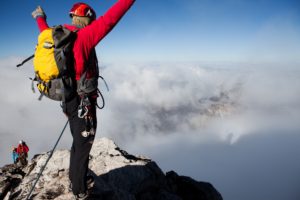
Trail Uses: Hiking, running, via ferrata.
Dogs Allowed: Yes. Again, avoid the via ferrata sections!
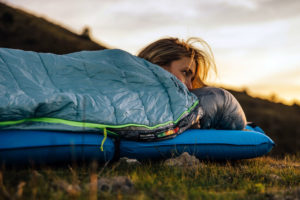
Recommended Gear: Large-ish day pack, hiking boots, sleeping bag liner for huts, 50spf sunscreen, hat, water purification tablets, ice axe (Piolet style) for early in the season, via ferrata kit (optional).
Elevation at Trailhead: Bressanone (Brixen), 559m/1,834ft.
Max Elevation: 2,900m / 9,514ft.
Total Height Gain: 11,600m/38,000ft (yeah, that’s more than climbing Everest!)
Costs: Around $50-60 per night in huts, otherwise none.
Directions: From Bressanone railway station, take Via Mozartalee due east and follow signs for Plose. At Plose, you can either choose to hike the 1100m/3608ft elevation gain (around 2 ½ hours) to Valcroce or take the gondola (about 15 mins)!


No Comment