Seven of the Most Amazing Hiking Destinations in Italy
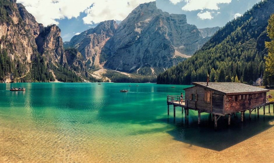
2. Alta Via #1, the Italian Dolomites
Pros
- Stages end at friendly mountain huts where you can eat and sleep for around $45-65 per night
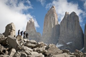
- Absolutely breathtaking scenery
- Suitable for hikers of all abilities and ages
- Very well-maintained and waymarked trail
- Walk through a UNESCO World Heritage Site
- Views of Civetta, Tofane and Pelmo mountains.
- WWI museum at Rifugio Lagazuoi
Cons
- It can get brutally hot in July and August
- They don’t make SD cards big enough for all the photos you’re going to take, so be sure to bring a spare!
- Virtually impossible in winter months due to snow and ice conditions
Congestion: Fairly heavy in the July and August, but not prohibitively so or enough to spoil your hike.
Ideal Time of Year to Hike: Mid-June to mid-September.
Total Distance and Duration: 75-95 miles, 8-12 days (each stage is 4-8 hours walking per day, with multiple add-ons and diversions to extend your trip)
Trail Uses: Hiking, running, via ferrata (optional).
Dogs Allowed? Yes. If taking a dog, use the diversion which avoids the via ferrata on the Schiara at the end of the route (unless your dog happens to be something of an expert alpinist!).
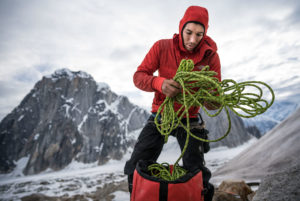
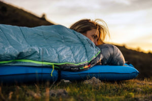
Recommended Gear: Day pack, hiking boots, 50spf sunscreen, hat, sleeping bag liner for huts ,water purification tablets, ice axe (Piolet style) for early in the season, via ferrata kit (optional).
Elevation at Trailhead: Dobbiaco (German: Toblach), 1241m/4,072ft
Max Elevation: 2752m/9,029ft
Total Height Gain: 6,665m /21,833ft
Costs: Around $45-65 per night (bed and breakfast) in a ‘rifugio’ (mountain hut).
Directions: To drive directly to the trailhead at Lago di Braies (most overnight in Dobbiacco and then catch a bus or drive to Braies, though this section can also be done on foot in 4/5 hours) from the Puster Valley (Val Pusteria), after about 43km (27 miles), between Welsberg and Niederdorf, turn south on the road for Prags. Follow the road for 8km (5 miles) to the carpark.


No Comment